Amsterdam · by water
The hand-curated map of Amsterdam's water.
271+ places on one map: where to swim, where to eat, where to tie up. Curated by hand, and growing.
Chapter 01 · Swim
15+places to swim
6 carry the city's official bathing status. We check it every morning against zwemwater.nl.
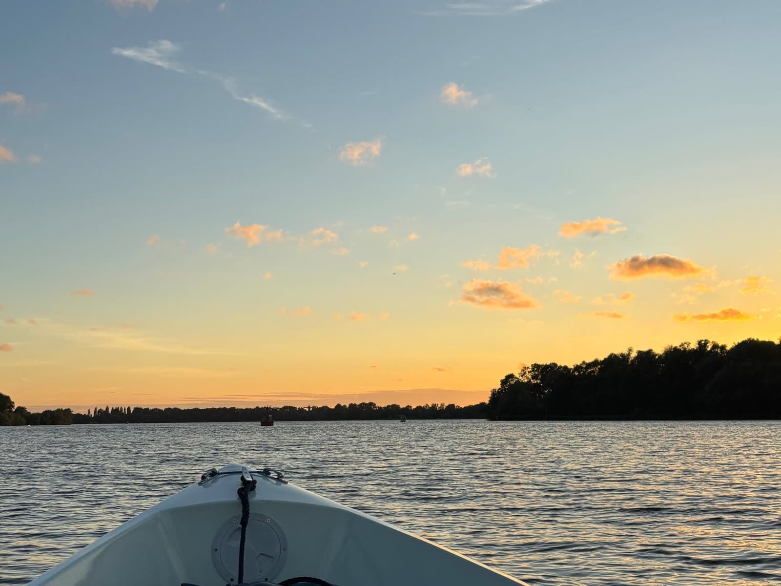
A lake on the southwest edge of the city. Anchor off and swim.
Official status · checked daily
Chapter 02 · Eat
63+places to eat on the water
Terraces on the quay, docks of their own, and a few that bring it out to you on the water.
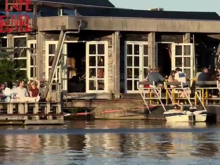
An upcycled harbour café in Noord. Tie up at their dock and they bring it out to you.
Dock · their own, room for 5 or 6
Chapter 03 · Stop
56+curated places to tie up
Each one labelled by what you are there to do: a quick pick-up, a short stop, a long afternoon. 22 are quick pick-up and drop-off points.
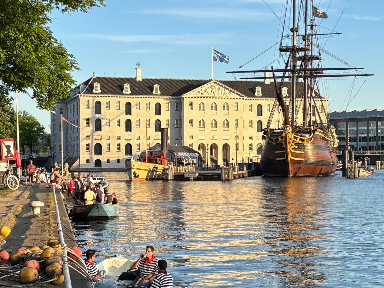
Free, room for 15, and longer stays are usually fine. Signs on the quay win.
Stay · longer usually OK, signs win
Chapter 04 · The small things
27+public toilets
Including the krul, the open-air spiral urinal standing right on the canal. The rest have doors.
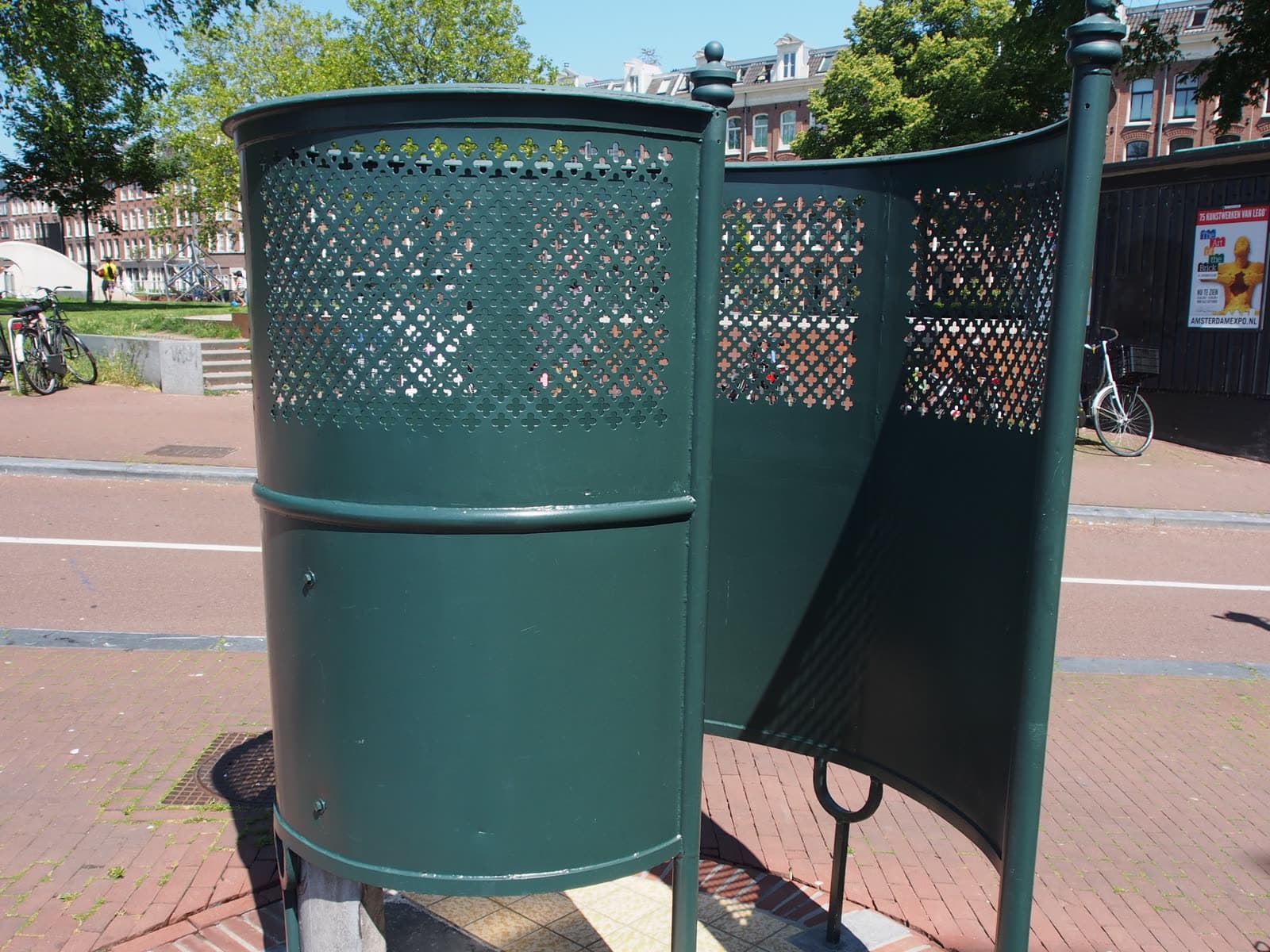
Open air, men only, always there.
Access · free, always open
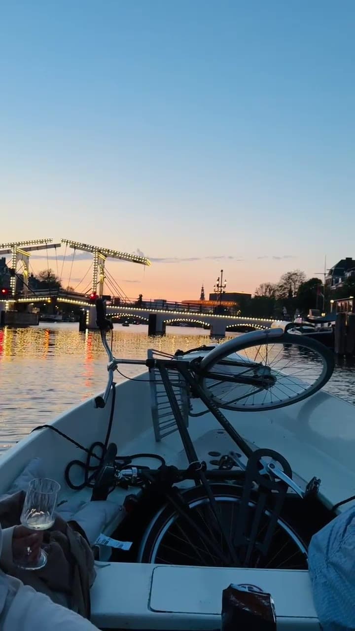
The Magere Brug, the Skinny Bridge, lit for the evening on the Amstel.
The method
Curated, and growing.
Curated by hand: the room, the rules on the sign, how long you can stay. Made in Amsterdam, by people who are out on this water. Locals share their spots, we check them, the map grows.
Beyond the map
It goes further than the map.
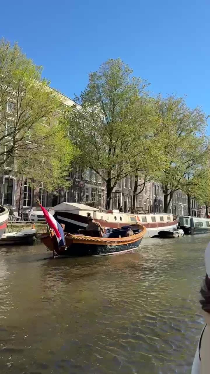
271+places, curated and growing.
Amsterdam · by water
The water is open.
Or let us send you the spots as we find them.
Map data © OpenStreetMap contributors